Maps
Map control
Version v1.26 comes with map support. It can support raster map tiles sources, like OpenStreetMap or WMS. Vector tiles aren't supported right now, but there is future plan to add support for vector tiles.
Map control supports showing boat location on the map and isn't intended for navigation. User can follow the boat, rotate map by course (magnetic or COG). User can configure boat size on the map, appearance (via Settings -> Change boat image), show boat history track (can be configured in Settings -> Boat track history settings in Map configuration section).
User can enable or disable interactivity like zoom manipulation, show and hide zoom controls, course button and follow button.
User can setup initial map zoom in settings. This zoom is applied by SKipper when you open it, when you change zoom, SKipper will use last zoom.
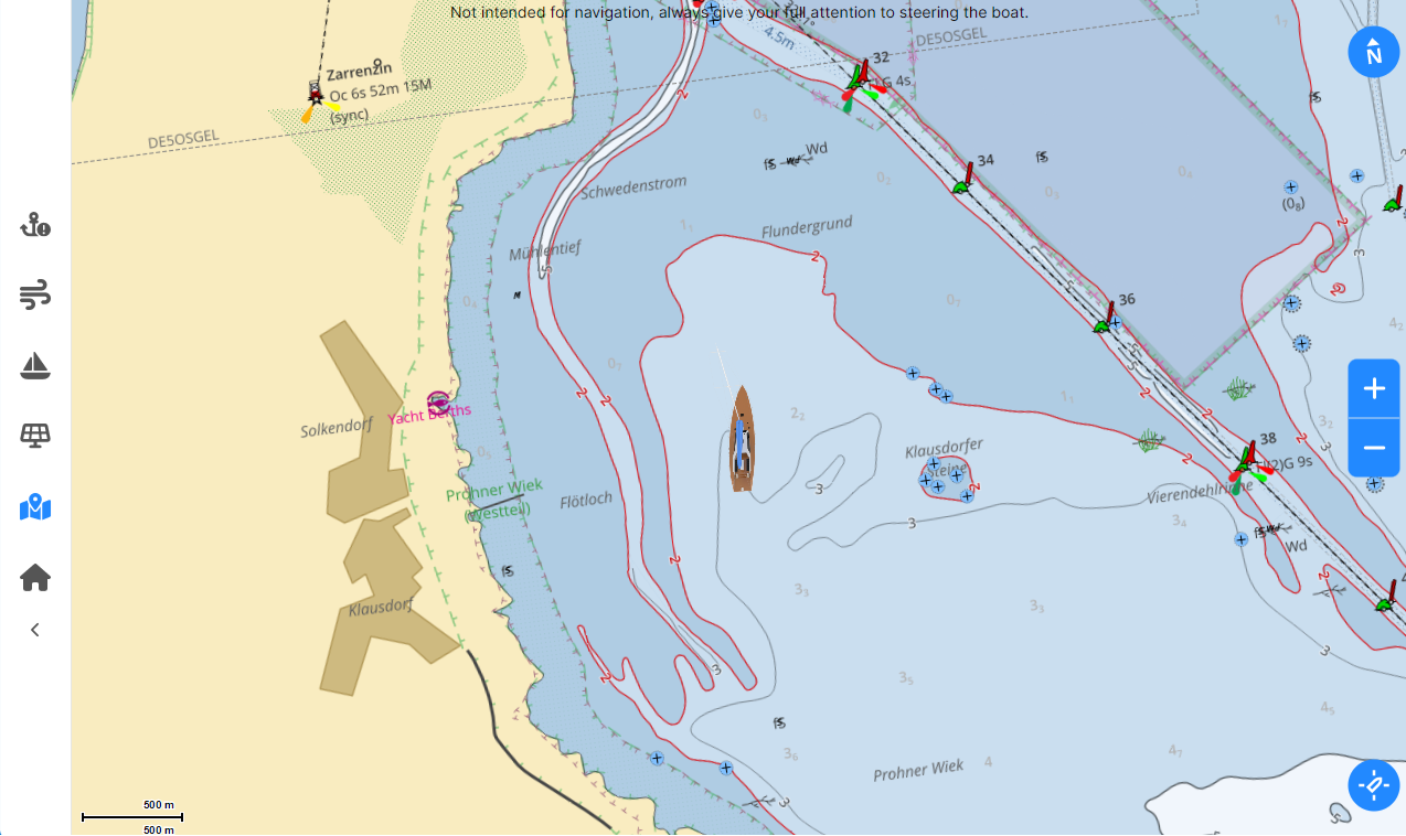
Map layers
In settings you can configure map layers that will be applied in Map control and Tracks & Routes map view.
Map layers are shown from top (first layer) to bottom and user can change the order. You mostly want full maps at the bottom and additional layers (like OpenSeaMap) at the top (bottom order).
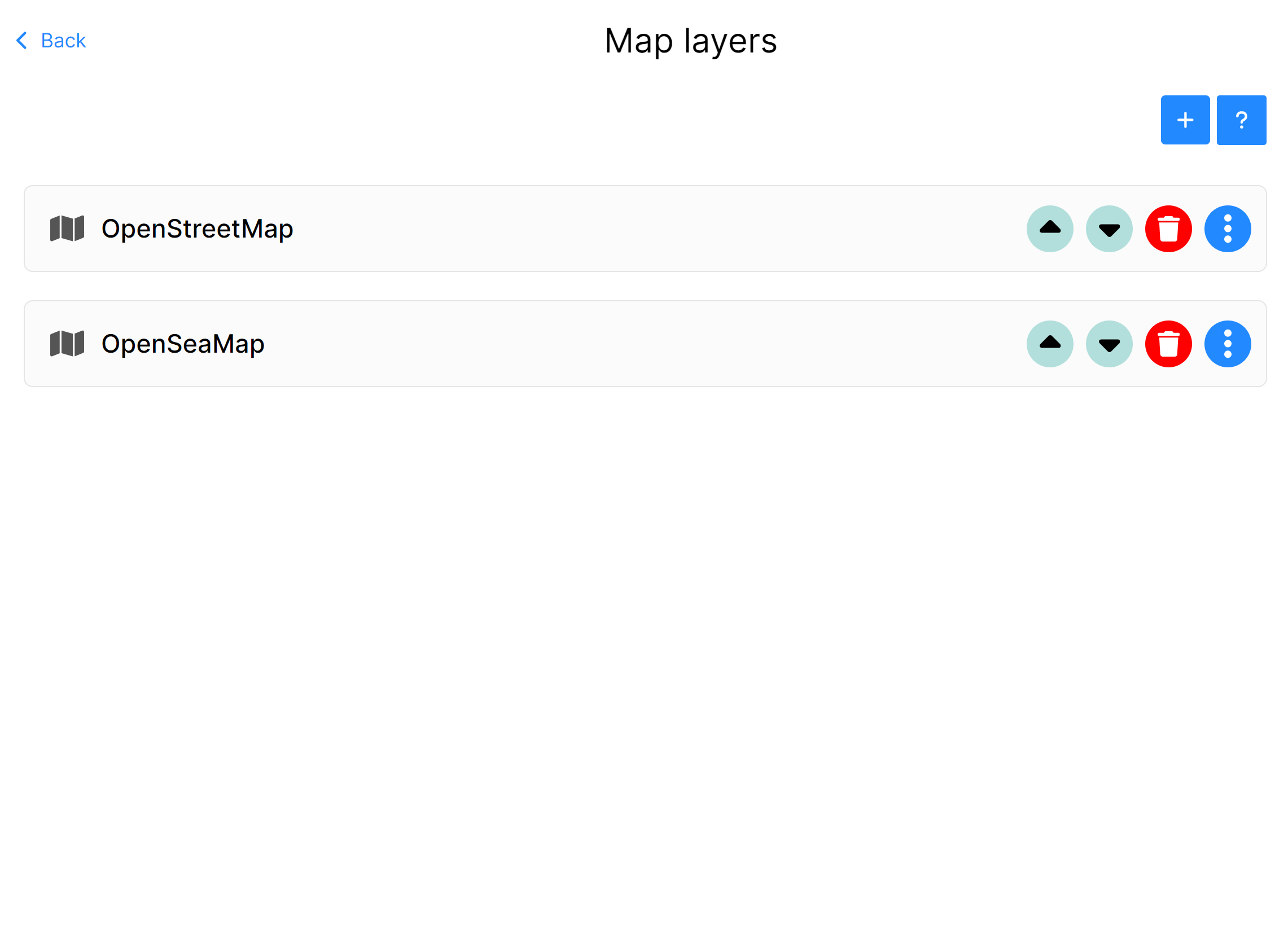
Each layer can be moved up or down, deleted and configured. Map layer has few settings available to user.
You can Name the layer to know, adapt visible mode, SKipper does support night/day theme so you can define what layers will be visible during night or day theme. This is handy if you need dark mode map at the night. Then you can define minimal zoom and maximum zoom that layer supports. In case of layers imported from Signal K or WMS those options are predefined, but can be altered later.
Future versions will support vector layers with in app rendering.
You can use map layers in Map control.